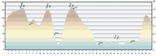
Well below is the race profile, just a couple of hills before I nice easy bit between CP (CheckPoint) 4 and 5 before a big hill at the end, simple really :-)
At the end of my race report is some videos found on Youtube of the event, from 4 minutes to 1 hour which give a good overview of the course at all the main parts that I can remember. From these you can see we where lucky it was a dry day but very windy.
Plus more information including official photos are on the event web site at http://www.visiteastbourne.com/events/BeachyHeadMarathon.aspx
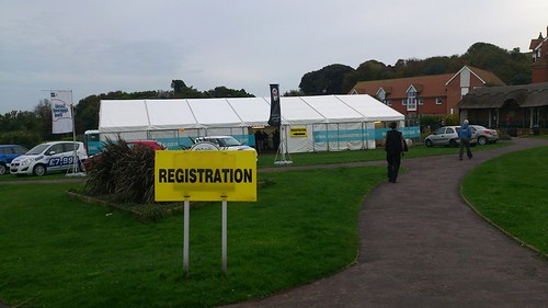
A nice look key registration tent the day before the race.
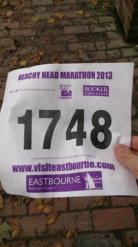 Got my race number.
As it was a cool day I had on long sleeve layers with options to add some arm warmers or water proof jacket along with some food and isotonic drinks. I would use my nutrition every couple of miles except if near a checkpoint.
The race starts with a about 10 seconds running on the road before a nice steep hill to run/walk up. It eases off a bit to the right but still an incline for a few miles. This was already fairly slippery to go up on race morning I was dreading what it would be like in 4 or 5 hours for the finish, just what you need at the end of a marathon a steep slippery downhill.
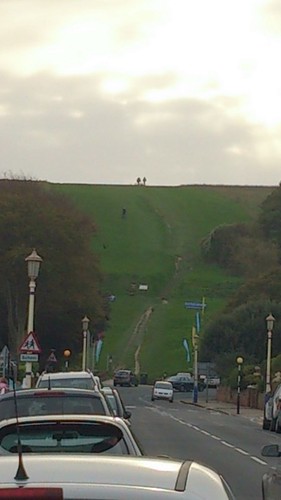
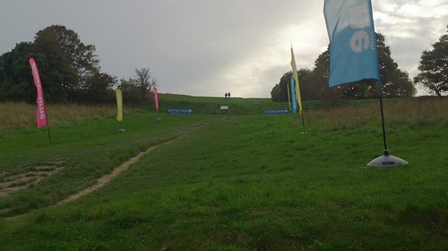
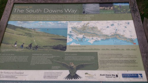
When I finally got to the top of the hill there was a Scottish (guessing) piper player the bag pipes in full kit, made a difference from normal races.
This wall on grass which then turned in to gravel path after going other a road. It seemed like all uphill for the first 2 or 3 miles. Then went through a wooded section on downhill with lots of stone to watch you did not go over your ankle on. There was a 100m section on road through a village which lead to the first checkpoint, water mars bar chunks and bourbon biscuits, my sort of race :-)
This then lead to a narrow uphill section still in strong winds. There was a distinct groove in the footpath from rain water draining down which was bone dry, so had to be careful of loose stones.
This then lead in to a woodland section which was muddy and slippery but still with ups and downs for 1 or 2 miles. This came out to a path along the ridgeway which the wind was coming strongly up the valleys down to the left of the path. Great scenery though, gutted did not take a camera with me.
After a mile or saw a long the top was a down hill section which there was lot of pot holes and stones to watch you footing on. I was going at a faster speed at this point, as I though there worst hills were in the first half which I had done about 1/4 of the distance already.
At the bottom we reached another checkpoint and feeding station before heading around the edge of a village green and crossing a bridge on to a road around the village. There were quite a few supporters at this section through the village.
When I got through the other side there was another hill which most people had stopped running and walking up. Once got to the top started to run along the trail path again, as we were at the top of the hill the wind was getting quite strong pushing us to the side. After a couple of miles of this we reached the next checkpoint and time for a quick rest out of the wind before turning back towards the coast, this was the furthest west point so we were heading back :-)
A couple of miles heading in to head wind was great luckily part we down there was some tall hedges which took part of the wind strength away. We then turned left in to a field and ran a few miles in this direction, crossing a road and in to another (cow) field where there was a checkpoint.
After running along side a river embankment we then crossed on to a village road to the local hall were there was tea, coffee, soup, hot cross buns and sausage rolls. There was also a band playing an acoustic chariots of fire. I was quite relaxed at this point then realised I had another 10 miles to run. I thought that was the worse done according to the profile but everybody was saying the bit I thought was easy is the toughest part, doh!!
We then headed put of a gate in to a field and up yet another hill. There was a short flat section before a fast short descent with a sty at the bottom. However after a very short flat section this lead to about 50 steps (did not count them). There was then a nice flat and slightly down hill section through some woods it was a bit slippery in places especially were the leaves had fallen.
After going through a other gate at the bottom of the hill there was another set of steps about 100 of them, I was running up them while others were walking. Then at the top after a short flat section there is a stone wall to climb over!!
Then there was a short downhill luckily there was a gate to slow down before crossing a road, I was glad for a rest waiting for the police to stop traffic.There was a lot of support at this section of the park, most had a picnic :-(
We then headed in to the Seven Sisters Country Park which had some impressive Oxbow lake formations, remembered from GCSE Geography. Plus there was plenty of grazing sheep.
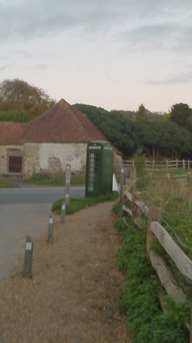
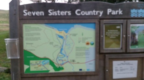
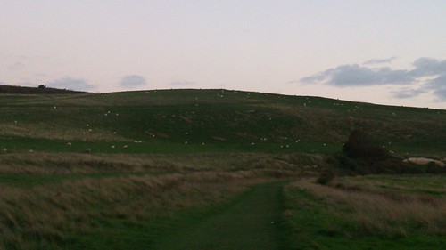
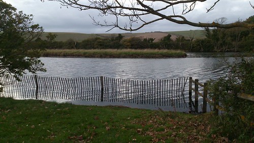
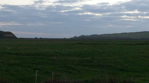
After about a mile of running on the grass section up and down a hill towards the coast, we go to my "flat" section. What I did not appreciate was the steepness of the inclines although they may have only been a few 100m at most (apart from first and last ones) the steepness and off road made up for it.
The approach I and most took was run down and walk up the hills. I was getting some good speed on the downhill, possibly a bit risky on the off road sections and pot holes. Luckily one of the hills had a checkpoint at the top, it was a welcomed sight.
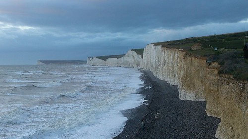
After the last of the Seven Sisters hills we then headed down a gravel path to Birling Gap National Trust Park, luckily this was a flat section on grass.

This then heading through some woods in to a nice downhill grass section with a nice looking light house.
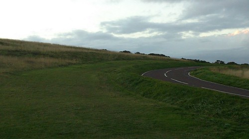
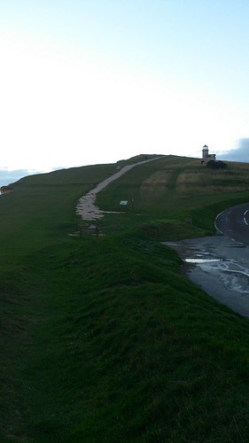
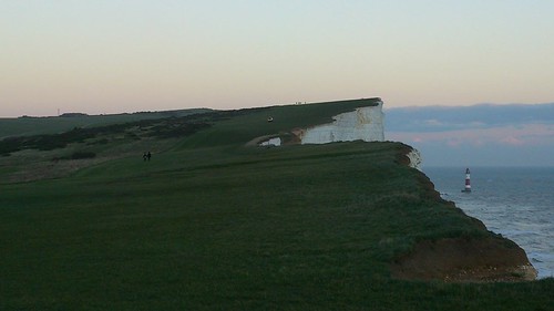
I then turned my head to the left and sore the Beachy Head hill!!!
This is the photo you normally see of the race in the running magazines when giving the race at least 9/10, couldn't disagree with that rating. For scale the light coloured dot in the distance half way the hill is a 4x4 vehicle!!
Luckily the wind was coming of the sea but still with a slight headwind, I was staying to the left side taking the shortest route. I know in previous years they have had to change parts of the route due to the weather.
After this last up hill there was a nice flat section alongside the coast road, although I did not need to see an ice cream van in a car park though.
Then you could see Eastbourne in the distance a long way below, the descent was getting steeper and my pace was increasing until the top of the hill from the start. I decided to stay to edges which would have more grass and hopefully more grip, even this route my be more uneven but avoided some of the steps down. At least you had a bit of speed from the downhill when you crossed the finish line.
My finish time was 5:30:10 , the time did not matter as was an hour over my normal marathon time (the race organisers said 3-40 minutes in the race notes). I was more gutted about the 10 seconds I could have got under 5:30.
It was a good enjoyable race which I would do again. Although we were lucky it was a dry day, if it was a wet cold day and muddy all the way round it would be totally different but I think still enjoyable. To put the course in to perspective the first person finished in 2:55 and the last person in just over 9 hours.
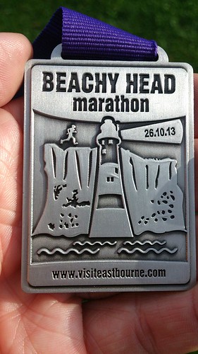
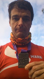
You then headed in to the school hall and got a meal and desert along with a nice warm cup of tea. To save time I took the post race meal voucher with me all the way round the course, as I did not want to go back to the car before getting some food :-)
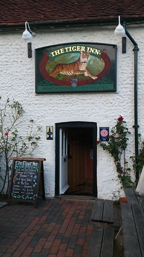
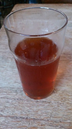
If you then took your finishers medal to a local pub you also got a free pint of the local ale, which tasted great. I then took my photos of the course (no runners left at this point only a few walkers).
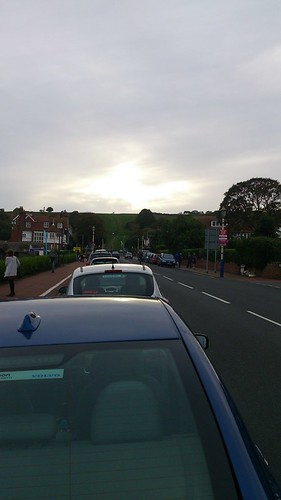
From this photo I took along the seafront past the finish line race you would not think it was a cool windy day.

YouTube Videos of this years race are below.
Short 4 minute video found on Youtube.
A 15 minute video found on Youtube.
1 hour video found on Youtube.
No comments:
Post a Comment